Hurricane Laura begins rapidly intensifying; expected to strike upper Texas, Louisiana coasts as Category 3
Hurricane Laura is rapidly intensifying over the Gulf of Mexico and expected to strike the upper Texas or southwest Louisiana coasts as a major hurricane late Wednesday or early Thursday. Life-threatening storm surge and destructive winds will batter the region and a threat of flooding rain and strong winds will extend well inland.
Laura has strengthened again, this time to 105 mph, a Category 2 hurricane, as of early Wednesday morning.
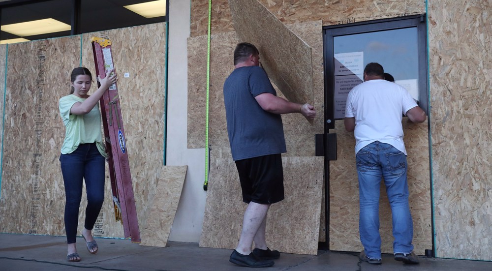
Residents along the upper Texas and southwest Louisiana coasts should prepare now for a major hurricane strike. Follow any evacuation orders issued by local or state officials.
Tropical Storm #Laura has moved on from Puerto Rico, but not before dropping as much as 5.5" of rain on the island
— Greg Diamond (@gdimeweather) August 23, 2020
The heaviest rainfall totals were on the windward side of the Cordillera Centra mountain rage pic.twitter.com/EMOemwmCs3
Laura became the fourth hurricane of the 2020 Atlantic hurricane season Tuesday morning, based on measurements taken by NOAA hurricane hunter aircraft.
Laura has prompted hurricane and storm surge warnings for the Gulf Coast.
A storm surge warning is in effect from San Luis Pass, Texas, to the mouth of the Mississippi River in southeast Louisiana, including Galveston Bay and areas inside the Port Arthur, Texas, hurricane flood protection system.
Approximately 4 p.m. at the end of Simonton Street facing south in Key West. This shoreline is within the reef and rarely has any waves at all. @capitalweather @NWSKeyWest pic.twitter.com/pq7nZ1c42O
— Raymond Warren (@Raywarrenva1) August 24, 2020
This means a life-threatening storm surge is expected in the next 36 hours. Residents in these areas should heed all evacuation orders and instructions from local emergency management and take necessary precautions to protect life and property.
A hurricane warning is now in effect from San Luis Pass, Texas, to Intracoastal City, Louisiana. This includes Galveston, parts of the east Houston metro area, Beaumont and Port Arthur, Texas, Lake Charles, Louisiana, and several additional inland counties and parishes of east Texas and southwestern Louisiana extending north of Interstate 10.
Hurricane warnings are typically issued 36 hours before tropical storm-force winds are expected to begin, making storm preparations difficult.
Situación camino hacia Padre Las Casas, producida por uno de los efectos destructivos de la tormenta tropical Laura, tras cruzar territorio dominicano. Créditos a nuestro fiel seguidor @manegonte. A través de uno de nuestros predictores; Enmanuel Alvarez. pic.twitter.com/cHslJYxEX5
— Oficina Nacional de Meteorología (@ONAMETRD) August 24, 2020
Tropical storm warnings extend into the rest of the Houston metro area, north to the Arkansas border in Lousiana, and east into south-central and southeast Louisiana, including the city of Lafayette. This means tropical storm conditions are expected with the next 36 hours.
A storm surge watch extends as far east as Ocean Springs, Mississippi, and as far west as Freeport, Texas. This watch includes Lake Pontchartrain, Lake Maurepas and Lake Borgne for areas outside of the southeast Louisiana Hurricane and Storm Damage Risk Reduction System. This watch means life-threatening inundation of water moving ashore over land is possible within the area in 48 hours or less.
A hurricane watch extends as far north as Lufkin, Texas, and tropical storm watches extend as far north as the Interstate 20 corridor from near Tyler, Texas.
Laura is centered around 360 miles south-southeast of Lake Charles, Louisiana. It's tracking to the west-northwest at just over 15 mph.
Data from the Air Force Hurricane Hunters shows that Laura has attained Category 2 status.
Satellite imagery shows the storm is becoming increasingly organized as it moves into a favorable environment for strengthening in the Gulf of Mexico. Rapid intensification is ongoing.
US Hurricane Threat
The National Hurricane Center (NHC) forecast shows Laura will curl more to the northward on Wednesday and Thursday.
A period of rapid intensification is expected to continue during the next 24 hours, according to the NHC. That means it will have a wind speed increase of at least 35 mph in 24 hours.
Laura is predicted to become a major hurricane - Category 3 or stronger on the Saffir-Simpson Hurricane Wind Scale - prior to making landfall somewhere along the southwest Louisiana or upper Texas coasts Wednesday night or early Thursday morning. Conditions are expected to deteriorate in these areas on Wednesday.
There may still be subtle, yet important changes to the track and intensity forecast.
For instance, any westward shift of the track could increase the threat of Laura's strongest winds, storm surge and rain in the Houston-Galveston metro area. As a result, residents in these areas should prepare for a potential hurricane strike.
"Users are again reminded to not focus on the exact details of the track or intensity forecasts as the average NHC track error at 36 hours is around 60 miles and the average intensity error is close to 10 mph," the NHC said late Tuesday evening.
The bottom line is that Laura is likely to bring storm surge, rainfall and wind impacts to parts of Texas and Louisiana Gulf Coasts beginning Wednesday. Keep in mind that a hurricane isn't just a point. Impacts will extend far from where the center eventually moves inland.
Source: weather.com

Google lifts ban on using AI for weapons,prompting employee backlash

FBI agents probing Jan. 6 riot sue Trump’s Justice Dept. as retaliation fears grow

'Massive protest' planned in Washington during Netanyahu-Trump meeting


Zionists weaponizing ‘victimhood’ as a political tool to whitewash genocide
VIDEO | Press TV's news headlines
US will lose next war ‘very badly’, warns Musk
Refugee shot in eye by Spain police files complaint to UN
Iran Navy in Pakistan for multinational drills as force takes presence to another level
Former Iraq PM urges action to stop ‘massacres’ against Syrian Shias
Saudi Arabia plans to execute Shia youths on 'arbitrary' charges
VIDEO | Press TV's news headlines